
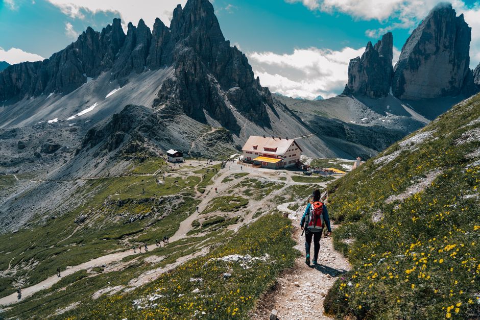
The Picos de Europa rise from green Atlantic valleys to 2,648 metres, yet you can reach serious mountain scenery within an hour of leaving a village. That contrast makes spring hiking in the Picos de Europa exciting and slightly deceptive. Lower paths may be warm, while snow still blocks a pass above 1,500 metres. Use the plan below and your first adventure will feel demanding, not reckless.
Why spring is the best first season in the Picos
Spring is the right season for a first visit because the valleys are green, waterfalls are full, and summer crowds have not yet taken over the most famous viewpoints. The trade-off is unstable mountain weather. You need to plan for a cold, wet day even when the forecast in Cangas de Onís says 19°C.
What changes between March and May
March is still a winter month at altitude. Snow can cover routes around Fuente Dé, Sotres, and the higher parts of the central massif. April brings better valley walking, but shaded slopes may stay icy. May gives the safest balance for beginners, with longer daylight and more open paths, although storms can still arrive quickly.
Pick a base below the high passes
For a first trip, sleep in Cangas de Onís, Arenas de Cabrales, Potes, or Espinama. These villages give you food, road access, and lower routes if the mountains close in. Do not book every night at a high refuge unless you already know how you handle cold, limited facilities, and changing trail conditions.
Best first-season verdict: visit from late April to late May, keep two route options for each day, and treat snow above the tree line as a route change rather than a challenge to overcome.
How to choose a safe spring route
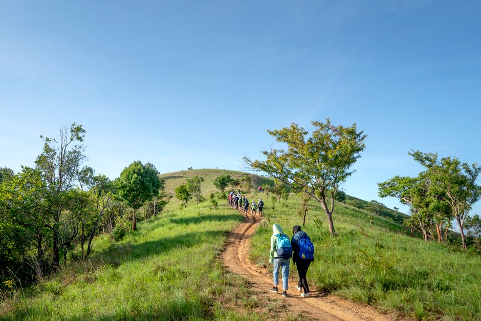
The first decision is not “Which famous trail should I hike?” It is “How much height, exposure, and escape time can I handle in wet weather?” That question keeps beginners out of avoidable trouble. The Picos are not one smooth range. They are steep limestone massifs cut by deep gorges, with trails that can change from a village path to a serious mountain traverse in a few kilometres.
Use elevation as your first filter
Choose a route below 1,500 metres when the forecast shows freezing temperatures, fresh snow, or strong wind. A valley walk around the Sella River or a low route near Cabrales can still deliver cliffs, forests, and mountain views. Save exposed ridges and high passes for a dry forecast with clear visibility. Snow depth matters less than ice on a steep traverse, where one slip can become a long slide.
Read the trail, not just the distance
A 10-kilometre route with 350 metres of ascent may be easy. A 10-kilometre route on loose limestone with exposure can feel much harder. Check ascent, descent, surface, escape points, and the last reliable water source. Add at least 30 minutes for every hour shown on a summer route description. Spring mud, snow patches, and closed tracks will slow you down.
Know the famous routes before you commit
The Ruta del Cares is roughly 12 kilometres one way between Poncebos and Caín. It is spectacular, but the narrow cliff path, drop-offs, tunnels, and lack of a quick exit make it a poor choice in heavy rain or for anyone uncomfortable with exposure. The Lagos de Covadonga area gives beginners more flexible walks and easier turnarounds. Start there.
A three-day first trip that leaves room for bad weather
Do not build a first visit around one heroic route. Build it around a good base, short driving days, and a spare option. This itinerary keeps the most demanding terrain in the middle, when your legs are fresh and you still have time to change plans.
- Day one: Lagos de Covadonga. Drive early, walk around the lakes, and use the marked paths near Enol and Ercina. Aim for 6 to 10 kilometres and stop if cloud hides the ridges. The lakes are a strong first look at the park because you get high scenery without committing to a remote pass.
- Day two: Fuente Dé and Áliva. Take the cable car only after checking its operating status and the wind forecast. From the upper station, choose a marked route toward Áliva and set a firm turnaround time. If snow covers the trail or visibility collapses, return to the valley and walk near Espinama instead.
- Day three: a shortened Cares option or a valley route. Walk from Poncebos toward the gorge, then turn around before fatigue and weather become problems. Do not treat the full 24-kilometre return as a required achievement. A lower route near Arenas de Cabrales is the better call in rain.
| Day | Primary plan | Bad-weather backup | Target effort |
|---|---|---|---|
| 1 | Lagos de Covadonga | Low paths near Cangas de Onís | 6–10 km |
| 2 | Fuente Dé to Áliva | Espinama valley walk | 8–14 km |
| 3 | Shortened Ruta del Cares | Cabrales valley route | 8–12 km |
The clear winner for a first trip is this flexible three-day structure. It gives you mountain views without forcing a summit, a gorge, or a cable-car ride on a bad-weather day.
What to pack for wet limestone and spring snow
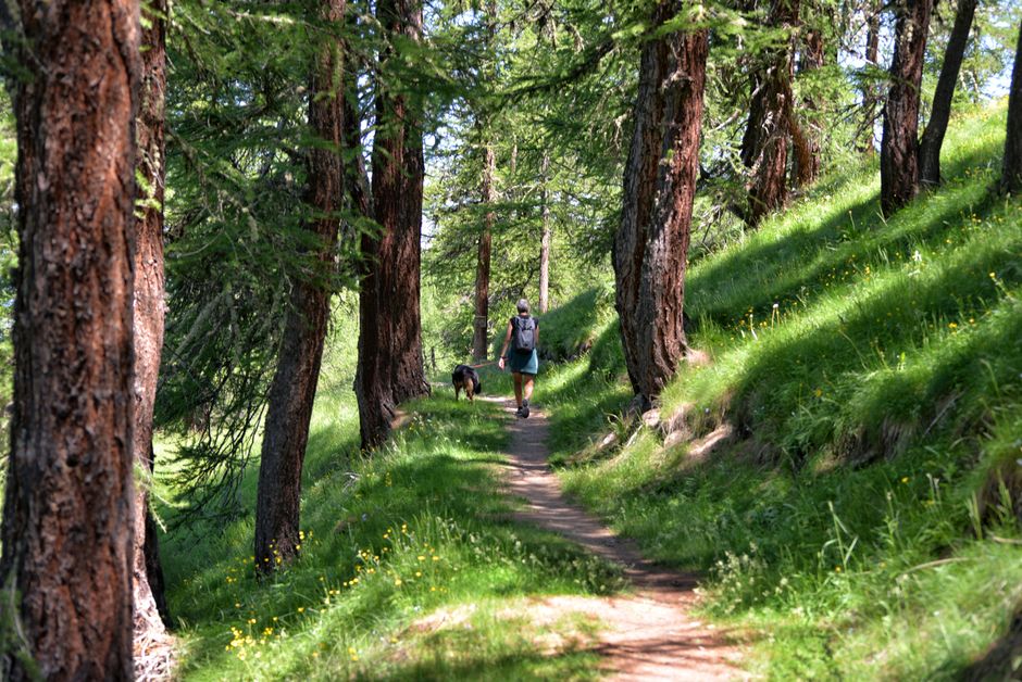
Pack for traction and weather, not appearance. Spring hikers get into trouble in the Picos because a sunny valley encourages light clothing, while the trail above it demands waterproof layers and a steady foot. You do not need expedition gear. You do need gear that works after six hours of rain.
The useful baseline
Wear waterproof hiking boots with a firm sole. The Salomon X Ultra 4 Mid GTX, usually around €160–€180, is a sensible choice for marked valley and gorge paths because it combines ankle coverage with a relatively light build. It is not a mountaineering boot, and it is the wrong tool for technical snow or steep ice.
Carry a 20–25-litre pack, waterproof shell, fleece, spare socks, gloves, hat, headlamp, food, and a paper map. The Osprey Talon 22, often priced near €150, works well for a full day because it carries layers without becoming a bulky overnight pack. Put clothing inside a dry bag rather than trusting a pack cover alone.
When extra equipment earns its place
Trekking poles reduce strain on wet descents. The Black Diamond Trail Cork pair commonly costs about €120 and is a strong pick for rocky, uneven paths. If your route enters isolated terrain, the Garmin inReach Mini 2, often around €400, adds satellite messaging and an SOS function, but it does not replace route judgment or a charged phone.
Do not buy microspikes or an ice axe because a shop assistant says “mountain.” Buy them only after checking the actual route, snow condition, and your skill level. For most first-time spring visitors staying on low marked trails, waterproof footwear, poles, and spare insulation matter more.
What usually goes wrong on a first Picos hike?
Is a clear town forecast enough?
No. Cangas de Onís, Potes, and Fuente Dé sit at different heights and can have different weather at the same time. Check the forecast for the exact trailhead and upper elevation. Look at wind, freezing level, rainfall, and cloud base. If the mountain forecast is poor, use the low route you planned in advance.
Can a beginner walk the Ruta del Cares?
Yes, in dry, stable conditions, with fitness and a head for heights. No, if rain makes the rock slick, if high winds are forecast, or if you plan to rush the return. The route has no easy shortcut back to the car once you are deep in the gorge. Start early and turn around before tiredness changes your footwork.
What mistake causes the most trouble?
Starting too late. Parking, road delays, cable-car queues, and slow spring conditions can remove daylight before the hard part of the route begins. Leave your accommodation with water, food, a charged phone, and a turnaround time already written down. Tell someone your route and expected return. Never rely on a phone signal in a gorge.
The second major mistake is treating a visible summit as an obligation. A cloud-covered ridge is not a test of character. It is a reason to choose the lower walk that still gets you home safely.