

You step off a hop-on bus after forty minutes of traffic, take three blurry photos through glass, and realize you have seen the city without actually being in it. The famous square looked fine. The neighborhood behind it would have been better.
A good neighborhood walk gives you a route with a point of view. You see one area at street level, connect major sights with ordinary streets, and finish near food, transit, or a view worth keeping. This guide shows how to build that route, when a bus loop still makes sense, and which navigation tools earn space on your phone.
Why Neighborhood Walks Beat Hop-On Loops
The bus shows landmarks, not a city
Hop-on tours solve a transport problem. They move you between famous places while you sit down. That can help in a huge city, but the format has a built-in weakness: the route follows traffic and ticket demand, not your curiosity. You see the cathedral, the shopping street, and the museum entrance. You miss the bakery two blocks away, the side street with shaded balconies, and the small plaza where residents actually spend time.
A walk creates useful friction
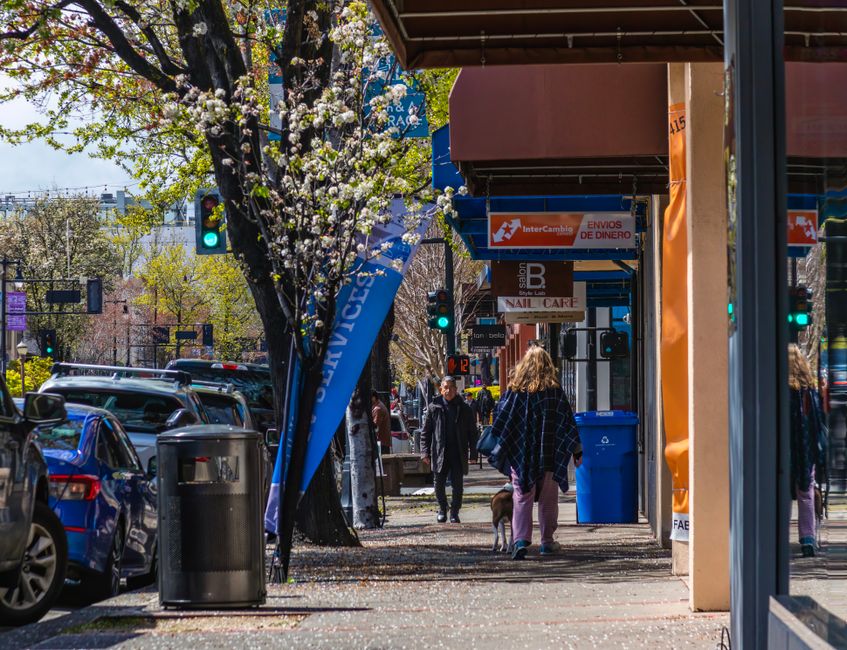
Walking forces you to notice distance, slope, noise, smells, and changes in architecture. Those details help you understand how a city fits together. A 2.5-mile route with four deliberate stops usually beats six rushed photo stops spread across town. The best plan also leaves room for a wrong turn. That is not wasted time. It is how a neighborhood stops feeling like scenery.
My verdict is simple: use a hop-on loop for orientation or mobility, then spend the rest of the day inside one neighborhood. A focused walk gives you stronger memories, better meals, and fewer hours spent waiting behind tour buses.
How to Build a Neighborhood Walking Plan

Start with one anchor, not ten attractions
Choose one place that makes the area worth visiting: a market, historic station, waterfront, museum, cemetery, hilltop, or food hall. Then draw a route that travels away from it instead of bouncing between unrelated landmarks. Keep the core walk between 90 minutes and three hours. Longer routes need a real break, not a vague promise to find somewhere later.
- Pick a start point beside a reliable transit stop.
- Set one main direction: uphill, toward the river, through the old town, or toward a market.
- Add two indoor stops for heat, rain, or a bathroom break.
- Choose one meal stop and one exit point before you leave.
- Check the route length. Four to six miles is a full walking day for many travelers.
Use a spine and two side streets
A strong route has one obvious spine, such as a canal, boulevard, ridge, or historic street. Add two short detours where the buildings or shops change. Do not fill every minute. Leave 20 percent of the plan open for coffee, photos, or a street that looks more interesting than your map.
The winning structure is practical: arrive by transit, walk through the neighborhood, stop for lunch, then exit from a different station. That shape prevents backtracking and keeps the day easy to abandon when your feet hurt.
Three Route Shapes That Work Better Than a Bus Loop
Do not copy a sightseeing circuit and call it a walking plan. Pick the shape that matches the neighborhood. These routes use real limits for distance, time, and stops, so you can build one before breakfast.
| Route shape | Distance | Time | Best use |
|---|---|---|---|
| Market to river | 2.0–3.0 miles | 2–3 hours | Food, street life, and an easy finish |
| Old town to hilltop | 2.5–4.0 miles | 3–4 hours | Architecture, views, and historic streets |
| Station to neighborhood loop | 1.5–2.5 miles | 90 minutes–2 hours | Arrival day or limited mobility |
| Park to museum district | 2.0–3.5 miles | 2–3 hours | Hot weather, shade, and indoor breaks |
Choose a route with a clear finish
The best endpoint gives you a reason to keep walking: a waterfront bench, a market lunch, a museum, or a transit interchange. “We will see what happens” sounds relaxed until everyone is hungry and the nearest restaurant is a chain beside a tour-bus stop.
Keep the route one-way
A one-way route saves energy and reveals more of the city. A loop is useful in a park or compact old town, but forced loops create filler streets. If the final third has no clear reward, cut it.
Verdict: the market-to-river route is the strongest default. It combines food, local movement, and a clean stopping point without demanding a full day.
Which Walking Tools Are Actually Worth Using?
Is Google Maps enough?
Yes, for most urban routes. Google Maps is free, shows walking time, and lets you save an area for offline reference. It is best for checking opening hours, transit exits, and the fastest way back to your hotel. Its weakness is taste: it will route you efficiently, not necessarily beautifully. Draw your own route first, then use the app to check distance and closures.
Do Citymapper, AllTrails, or Rick Steves earn a download?
Citymapper is the best pick for transit-heavy cities. Its free version covers route planning with ads, while Citymapper CLUB is listed at £1.49 per month for an ad-free experience. Use it to plan the start and finish, not to choose every street. AllTrails+ is better for park edges, long greenways, and hill routes; its Plus plan has been listed at $35.99 per year with offline maps. Do not pay for it for a flat downtown walk.
For European sightseeing, the free Rick Steves Audio Europe app is the strongest content add-on. It includes self-guided walking tours, maps, and audio for major destinations. My tool verdict: Google Maps for the base route, Citymapper for transit, and Rick Steves for historic context. Add AllTrails+ only when the walk leaves normal city streets.
The Walking-Plan Mistakes That Ruin a Good Day
Most bad walking days do not fail because the city lacks interesting streets. They fail during planning. Avoid these mistakes:
- Starting at the biggest landmark. You arrive with the same crowd as every bus tour. Start one transit stop away and approach the landmark through quieter streets.
- Trusting map time too much. A 25-minute estimate ignores stairs, crossings, crowds, heat, and photographs. Add 30 percent to the walking time.
- Scheduling a hill after lunch. Put the steep section early, while legs and patience are still working.
- Using one restaurant as the whole plan. Markets close, kitchens stop serving, and popular tables fill. Pick a primary meal stop plus two nearby backups.
- Ignoring the return trip. The route is not finished when the final photo happens. Confirm the nearest station, bus stop, taxi stand, or flat road back.
- Making the walk too ambitious. A 7-mile plan sounds impressive and feels miserable after a museum morning. Cap most sightseeing walks at five miles unless the route itself is the main event.
The worst mistake is treating every traveler as equally mobile. Cobblestones, steep streets, heat, and stairs can change a pleasant route into a bad purchase of time. Mark two bailout points before leaving. A good plan has an exit.
When a Hop-On Tour Is Still the Better Choice

Use the loop for orientation
A bus loop earns its ticket when you have one day in a sprawling city and no idea how districts connect. Ride the full circuit once, take notes on areas that look promising, then return to one neighborhood on foot. That is a useful scouting tool. Sitting on the bus all day is not.
Use it for mobility and weather
Travelers with limited walking tolerance, young children, severe heat, or heavy rain may get more value from a loop than from a three-hour route. The point is not to prove that walking is superior. The point is to see the city without exhausting the people in your group.
Skip the bus when its stops sit far from the places you actually want to explore, when traffic is heavy, or when the ticket costs more than a short transit ride plus a self-guided walk. For most travelers, the smart compromise is one loop for orientation and one neighborhood plan for the real experience.
The Clear Choice: Plan One Neighborhood, Then Leave
Neighborhood walking plans win because they turn sightseeing into a sequence instead of a checklist. You get a start, a reason to move, a meal, a few local details, and a practical way out. The plan stays flexible without becoming vague.
Use the following decision table when choosing your day:
| Your situation | Best choice | Why |
|---|---|---|
| First visit to a huge city | One hop-on circuit, then one walk | Fast orientation without sacrificing street-level time |
| Two or more days in the city | Two neighborhood walks | Less backtracking and stronger local detail |
| Historic district with hills | Old town to hilltop route | Front-loads effort and ends with a view |
| Rain or extreme heat | Museum-and-market route | Short outdoor gaps with indoor recovery stops |
| Park or trail outside downtown | AllTrails+ only if offline maps matter | Useful route data without paying for a simple city walk |
For a normal city break, build a 2.5-mile one-way walk with four planned stops, one meal, two bailout points, and a transit exit. Use Google Maps to verify it, Citymapper to reach it, and Rick Steves Audio Europe when historical context adds value. That beats spending the day circling the same landmarks behind tinted glass.